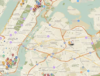
Mapping Spanish NYC is an interactive digital map and Open Educational Resource that invites students to explore New York City as a multilingual and multicultural classroom. Through guided fieldwork, students document Spanish-speaking neighborhoods and culturally significant sites across the five boroughs, including gastronomy, health, education, religion, art and culture, local businesses, community services, event spaces, community centers, murals, theaters, bookstores, and public events.
Each map entry is student-generated and combines location data with Spanish-language description, original photography, video, and other multimodal materials. In this way, students practice Spanish beyond the classroom while developing cultural competence, digital literacy, and a deeper understanding of the lived realities of New York City’s Latinx communities.
Implemented in Spanish language courses at Columbia, the project has produced a growing public-facing archive of more than 300 student-created entries across neighborhoods such as East Harlem, the Bronx, the Lower East Side, Bushwick, Jackson Heights, and Washington Heights. The project connects language learning with community engagement, civic exploration, and public scholarship, positioning students as co-creators of knowledge about Hispanic New York.